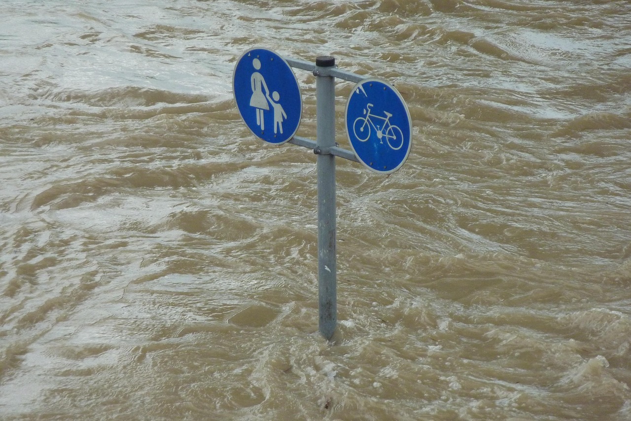
Flooding can be devastating for properties, communities, and infrastructure. The damage caused by floods can result in emotional and financial stress, disrupt livelihoods, and pose safety risks to individuals and businesses.
With Australia and New Zealand being home to flood-prone regions, it is crucial to take proactive measures like flood risk assessments to mitigate potential losses and safeguard investments. Whether you’re a property owner or a government body, doing a flood risk analysis is essential for understanding and managing flood-related challenges.
In this blog, we discuss the importance of conducting a flood risk assessment, its key components, and the step-by-step process involved.
What is a Flood Risk Assessment?
A flood risk assessment is a systematic evaluation of the likelihood and potential impact of flooding on a property, area, or community. Its primary purpose is to identify vulnerabilities, assess risks, and recommend actionable solutions to reduce flood-related damage.
Flood risk assessments are crucial in scenarios like:
- Property development and urban planning.
- Securing insurance or understanding coverage requirements.
- Disaster preparedness and creating community resilience.
For property owners, these assessments offer invaluable insights into protecting their homes and investments through residential flood protection measures. They also help safeguard communities by identifying high-risk zones and implementing flood risk solutions to enhance overall safety.
Key Components of a Flood Risk Assessment
Identification of Flood Hazards
Flooding can occur due to various causes, including river overflows, flash floods, coastal surges, and urban drainage failures. Understanding the type of flooding a region is prone to is the first step in addressing the problem. Factors like topography, weather patterns, and nearby water bodies play a significant role in determining flood hazards.
Flood Zone Mapping
Flood zone maps provide detailed information about areas prone to flooding. Using technologies like GIS (Geographic Information Systems) and satellite imagery, these maps help assess risk levels and guide decision-making. For example, flood mapping in Australia highlights regions vulnerable to riverine and coastal flooding, while New Zealand’s maps often focus on flood-prone lowlands and coastal areas.
Historical Data Analysis
Studying past flood events is critical for identifying trends and vulnerabilities. Historical data, often sourced from government databases or meteorological agencies, provides context about the frequency, intensity, and impact of previous floods in a specific area.
Vulnerability Assessment
Not all properties face the same level of risk. A flood risk analysis examines a property’s specific vulnerabilities, considering factors like elevation, building materials, and proximity to critical infrastructure. Identifying potential points of failure, such as inadequate drainage systems, is vital for targeted flood risk solutions.
Probability and Risk Analysis
Understanding the likelihood of flooding is at the heart of flood probability analysis. By evaluating potential scenarios and their associated costs, stakeholders can make informed decisions about risk management and resource allocation.
The Step-by-Step Process of Conducting a Flood Risk Assessment
Step 1: Data Collection
Effective assessments begin with comprehensive data collection. Relevant maps, weather patterns, and property details form the foundation of the analysis. Hiring professionals like iREACT Consulting ensures you find accurate data. John Alexander, a subject matter expert in flood risk assessments, uses tools like LiDAR and hydrological modelling to collect reliable data.
Step 2: Site Inspection
A site inspection provides real-world insights into terrain, drainage systems, and structural vulnerabilities. Visiting the site helps identify factors like proximity to water bodies or poorly maintained infrastructure that may increase flood risks.
Step 3: Flood Modelling and Analysis
Sophisticated models simulate flood scenarios based on rainfall data, tide levels, and climate change projections. These models are indispensable for predicting flood behaviour and informing decision-makers.
Step 4: Risk Evaluation
After analysing the data, risks are categorised as low, moderate, or high. This evaluation includes assessing potential impacts on human safety, property value, and environmental integrity.
Step 5: Reporting and Recommendations
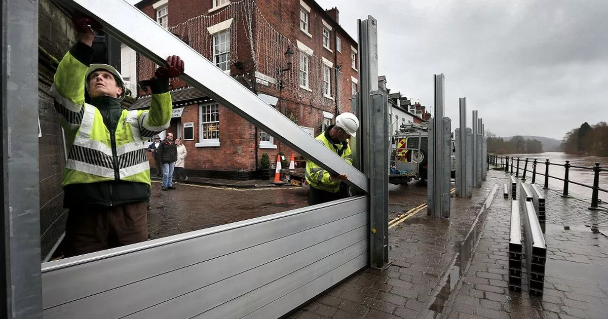
The final step involves compiling findings into a detailed report. Recommendations may include practical residential flood protection measures, such as installing flood barriers, improving drainage systems, or implementing emergency response plans tailored to the region.
Common Challenges in Flood Risk Assessments
Despite their importance, flood risk assessments can face challenges, including:
- Data Limitations: Accurate and up-to-date data is not always readily available, particularly in remote or less-documented regions.
- Climate Change: Unpredictable weather patterns complicate flood probability modelling, requiring more adaptive and dynamic solutions.
- Awareness Gaps: Many property owners and developers are unaware of the importance of flood assessments, leading to missed opportunities for prevention.
Addressing these challenges requires collaboration between professionals, communities, and government bodies to ensure robust and reliable assessments.
Tools and Resources for Flood Risk Assessments
Advancements in technology have made flood risk assessments more accurate and accessible. Key flood risk assessments tools include:
- Flood mapping software: Platforms that analyse flood-prone areas using geospatial data.
- Hydrological models: Tools to simulate water flow and predict flooding under various scenarios.
- Government guidelines: Resources from local authorities, such as those provided by the Bureau of Meteorology (BOM) in Australia, offer invaluable support.
Consult with a professional flood expert to ensure these tools are effectively utilised for actionable insights.
Conclusion
Flood risk assessments are essential for protecting lives, properties, and communities in regions like Australia and New Zealand, where flooding is a recurring concern. By understanding flood hazards, evaluating risks, and implementing tailored flood risk solutions, stakeholders can mitigate potential damage and build resilience against future events.
Taking proactive action through comprehensive assessments is a small yet critical step towards safeguarding investments and ensuring community safety. Contact iREACT Consulting for reliable guidance and expertise. Call +61 433 634 344 today.