Where Next for Flood Insurance?
In the previous newsletter, I described an ambition to derive Property Flood Certificates (PFCs) to prove the efficacy of flood resilient repairs (for the installed base of properties) and designs for newly built properties, with an added ambition to host this and all the related documentation on a private Blockchain for insurers and conveyancing solicitors.
This is a crucial first step if flood insurance cover is to be maintained at an affordable level.
FloodFlash launched an innovative parametric insurance scheme in the UK a few years ago (and now in the USA) that uses a tamperproof sensor to detect flooding and pay out a claim within 48 hours.
This video explains how it works –FloodFlash US | How it works on Vimeo – much more succinctly than I can. It also shows how multiple triggers can be used for the same property. This is useful, as floods are always different and only sometimes at a great depth. Being able to choose a pay out for a low level flood event, which is still damaging, can assist with a much faster return to normal.
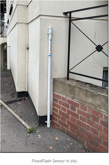
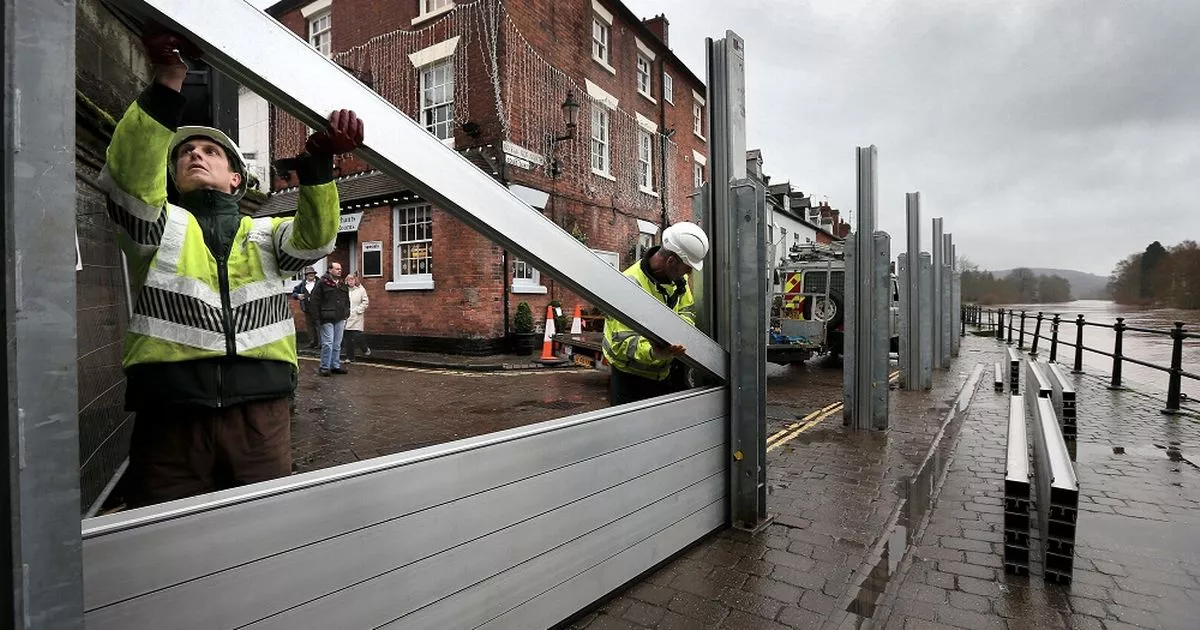
But what if we were to combine flood mitigation with this insurance idea? Instead of dealing with multiple trigger points, we could install flood resistance measures such as flood doors and barriers. Depending on the property construction type, a flood resistance height could be determined at 600mm, and a water exclusion policy could be adopted to protect the property with insurance cover above this height.
Taking it a step further, we could install flood resilient measures such as floodproof kitchens, internal walls & raised electrics to protect up to 1,000mm with insurance cover above this level.
Using this approach, we are constantly improving the property’s flood resilience, reducing its risk, and lowering premiums to affordable levels, all in a planned and affordable fashion.
But what if you don’t have a sensor like FloodFlash does? Well, we faced this question on a recent project I have been working on in Melbourne with a hospitality venue adjacent to the Maribyrnong River. We have provided flood protection to a height of 2.4m above finished flood level (FFL), which was the height of the last flood. Above this, the owner obtained parametric cover from a local insurer by referencing a sensor owned by Melbourne Water. The data from this sensor is freely available if you know which website to look at, and it will set the trigger to pay out an agreed sum should the next flood level be even greater than the last.
Note though, that even an overtopping event is catered for in the design with the use of multiple pumps and a standby diesel generator that will keep the damage claim to a minimum, and allow the venue to open for business within a few weeks, rather than the 18 months it has been closed for after the last flood.
I hope case studies like this will help to convince the insurance sector to engage more collaboratively with flood mitigation practitioners to produce insurable solutions.
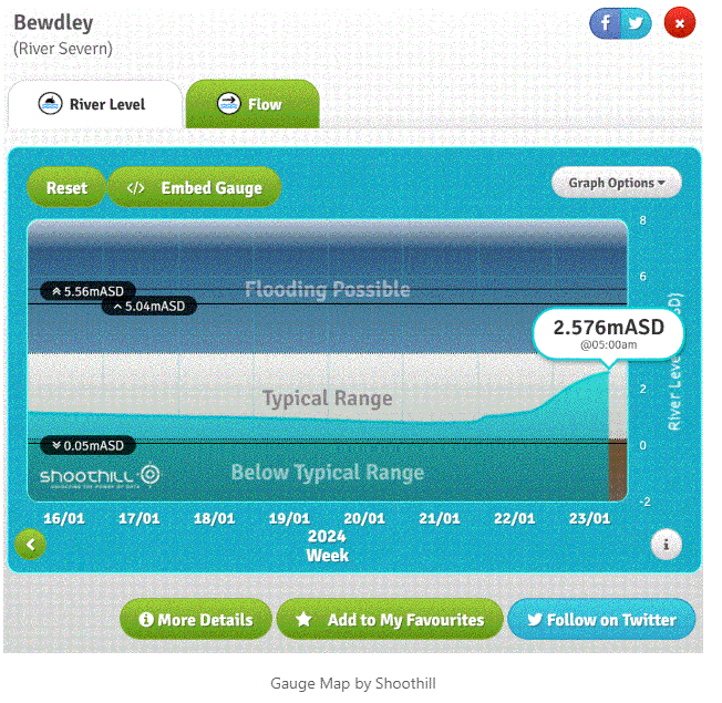
I also hope we can get better public access to flood gauge data and present it in a useable format, because it is very hard to find and interpret at present. Below is a great example of a very easy to interpret user interface.
